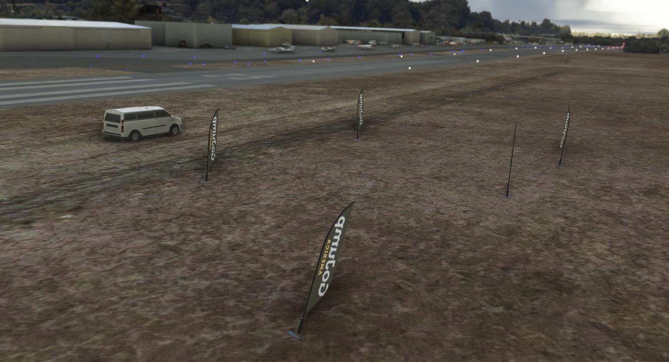
Encore une scène que je me suis amusé à créer pour Microsoft Flight Simulator 2020. Par défaut, Borrego est mal traitée par le moteur d'intelligence articiel qui tente d'identifier les bâtiments ;) Avec l'outil intégré Scenery Editor, c'est un peu comme faire du modélisme en plaçant à la souris des objets de la librairie. A côté de la construction, il y a aussi toute la partie recherche (merci Internet) pour savoir à quoi ressemble tel ou tel bâtiment, s'il y a un panneau spécifique ici ou là... et tenter de le re-créer avec mes modestes compétences. J'utilise BLENDER pour faire des panneaux et appliquer des textures faites avec GIMP. Et quand je suis fainéant, je fais des bitmaps avec Powerpoint (déformation professionnelle) à la vitesse de la lumière.
C'est dispo gratuitement par ici : https://flightsim.to/file/38247/san-diego-borrego-valley-l08

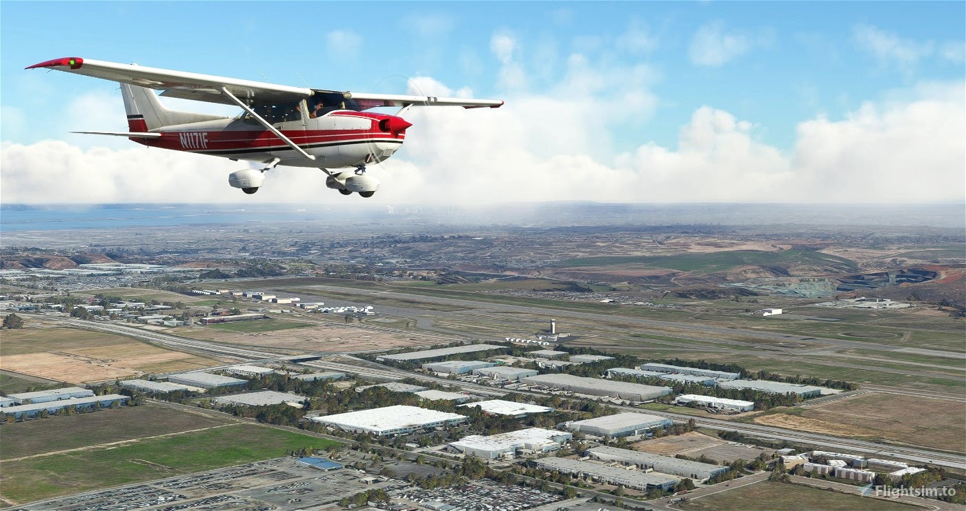
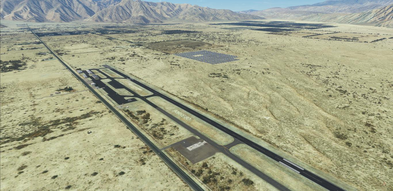
Borrego Valley Airport (ICAO: L08) is a county-owned public airport three miles east of Borrego Springs, in San Diego County, California, United States. Its one runway (8/26) is 5,011 x 75 ft (1,527 x 23 m) asphalt, CTAF/Unicom and host onsite restaurant "The Propeller Bar & Grill".


Download for free : https://flightsim.to/file/38247/san-diego-borrego-valley-l08
Author's note
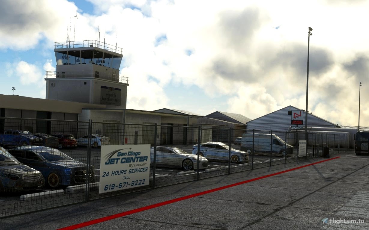
As for all of my MSFS mod, this small scenery is made from a pilot-eyes perspective. In real, I'm a Plus One Flyers member and mostly fly from Montgomery Field (KMYF). I'm real PPL, but a rookie amateur scenery developer: this mod is made with 99% of MSFS default objects library and feature massive number of details. The scenery is inspired by aerial views from Bing and Google maps. It's a mix between the satellite imagery displayed from MSFS and more accurate data found on Internet. Unfortunately, there's no taxiway information nor in Jeppesen, FAA or Foreflight data. I did my best based on online video and online pictures. Hundreds of objects have been added to the default scenery to make in more live and bring a touch of an active area.

Borrego? The place-to-be for aerobatics
The International Aerobatic Club (IAC) has a practice and competition area just north of the airport (see white ground markings). Aerobatic pilots from California and the southwest US regularly use it for practice and major competitive events; Two annual competitions are sponsored by the San Diego Aerobatic Club, in April and October. Jump into your CAP 10 or Pitts!

Features
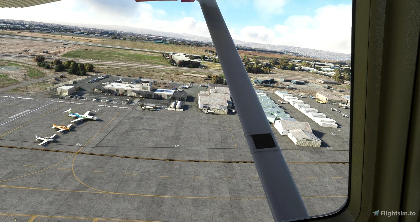
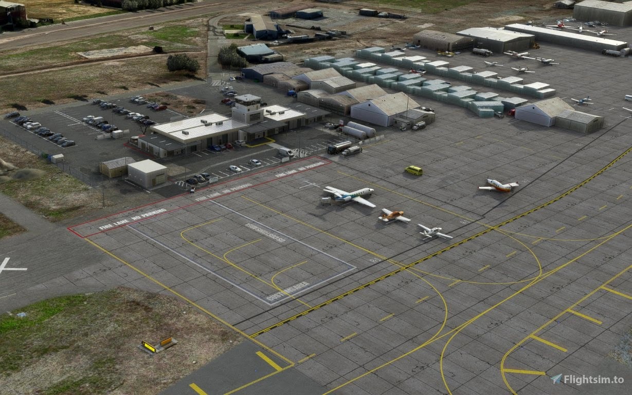
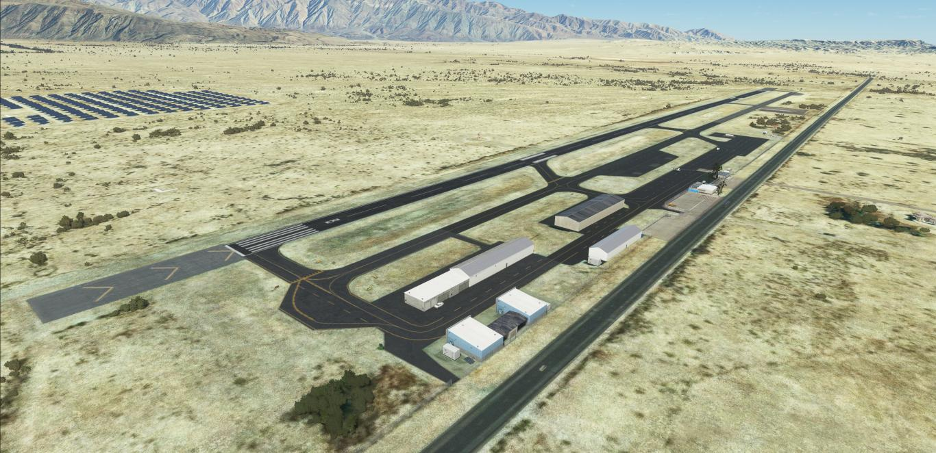
- All taxiway markings verified and redesigned if needed. Mostly position correction and add of “Extended center line” at holding point.
- Fix the solar farm north of the field with handplaced solar panels
- Fix the color of re-asphalted taxiways and runway
- Fix and add correct windsocks
- Fix circuit pattern correct position
- Reveal the BORREGO letters marking on ground
- Reveal and improve the solar farm north of the field
- Add generic buildings to replace autogen MSFS: hangars, admin building, The Propeler restaurant and its upper deck…
- Add AWOS frequency 126.575
- Add Unicom 122.8
- Add PAPI’s at correct position